
OMA pairs a smartphone app with the OMA sample tube: a clear acrylic tube with a Secchi disc in its base. The app compares a photo of the sample against a baseline photo of the empty tube and returns an indicative Total Suspended Solids (TSS) reading, calibrated against laboratory-derived parameters.
Wipe the OMA tube clean inside and out, and stand it on a flat surface out of direct sunlight; your own shadow is enough.
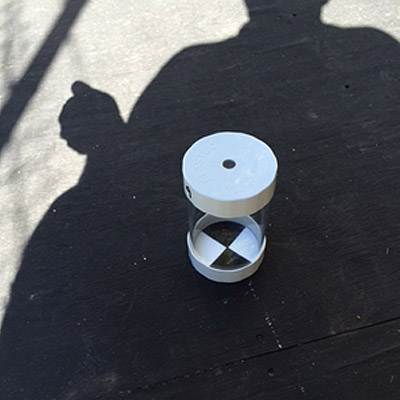
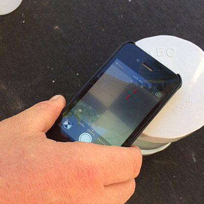
With the aperture cap on, place your camera lens over the hole and centre the red cross on the Secchi disc at the bottom of the empty tube. The app records this baseline image for comparison.
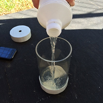
Collect at least 500ml of the effluent to be tested in a separate container, then pour it into the OMA tube up to the level line.
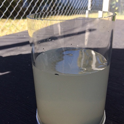
Replace the cap and photograph the sample through the aperture, just like the baseline shot. Even if the Secchi disc isn't visible through the sample, take the photo; the algorithm reads minute variations in the image.
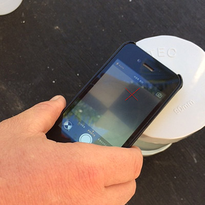
OMA compares the two images and returns an indicative TSS value (from 10 mg/L to over 40 mg/L) to your screen. The image is stored automatically against the facility's record.
Add comments on the facility and land application area, record any advice given to the owner (such as "facility requires pump-out"), and submit. The service history updates instantly, and any missed service is flagged as overdue automatically.
OMA captures the full picture of each service visit.
For facilities with above-ground disposal, the agent records the chlorine dose in mg/L. Readings outside the safe 0.5–2 mg/L range are flagged red: below it indicates unsafe levels, above it means the chlorine may run out before the next service and can damage soil and grass.
Sludge levels are recorded as a percentage after measurement. At 60% or above, the app indicates the tank needs pumping out as soon as possible, and the agent can log advance warning to the owner that a pump-out is approaching.
Detailed comments on the disposal or land application area are recorded with the service, building a complete environmental picture of each site over time.
Data quality is enforced by the app, not by hoping paperwork is filled in correctly.
Tests can only be conducted on site: the app checks the device's GPS coordinates against the facility address, and the test must be submitted before leaving the property.
New facilities are entered from a GPS-derived suggestion list of nearby properties, preventing misspelt or duplicated addresses in your register.
Once a facility is in the agent's client list, tests can be conducted and submitted without mobile reception. Only adding a new site requires a connection.
Get in touch and we'll demonstrate the app, the council web portal and the reporting engine with data that looks like yours.
Get in contact